Tesla to Build Its Own Maps for Self-Driving System
The automaker is developing proprietary mapping technology to address recurring issues with its Full Self-Driving features.
By Neha Iyer ·
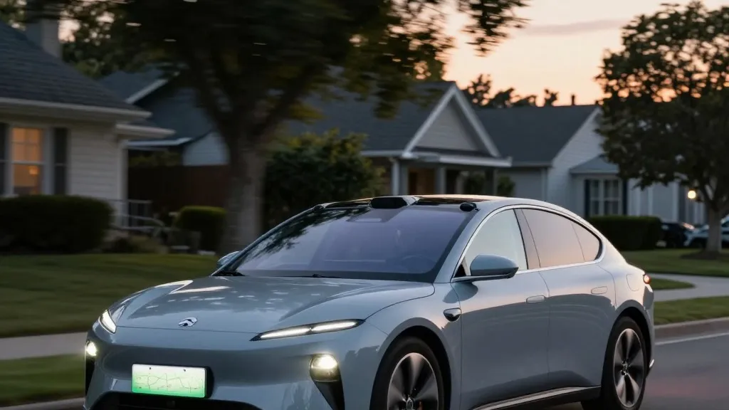
Tesla has long argued that self-driving cars do not need detailed maps to navigate the world, but that stance is shifting. The company is now creating its own mapping system to address persistent problems with its Full Self-Driving software.
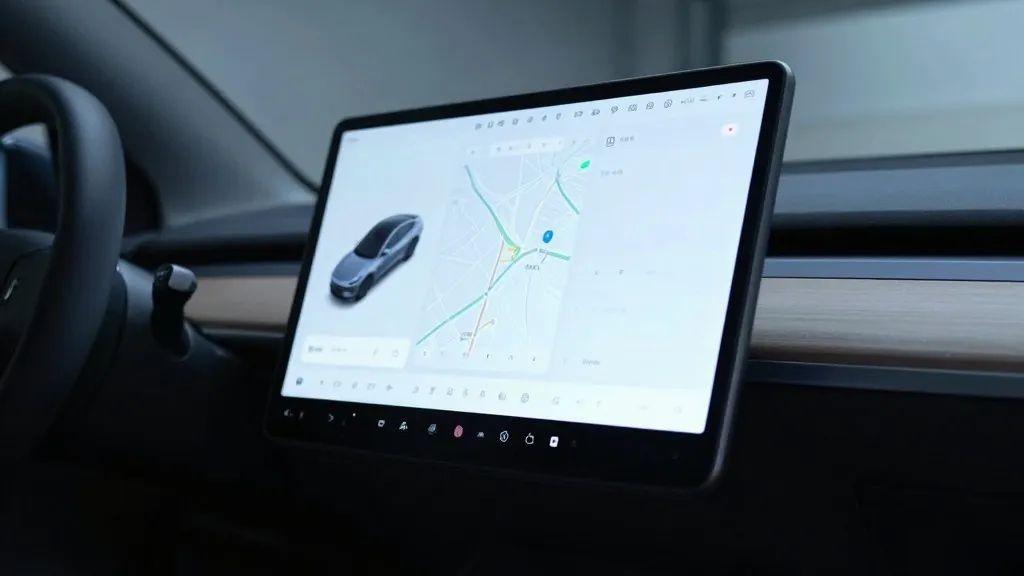
During the company's Q3 2026 earnings call, Tesla's VP of AI, Ashok Elluswamy, confirmed the development of a new AI-based mapping and navigation architecture. The system is designed to solve specific shortcomings in the current FSD software, particularly regarding the reading of speed limits, parking maneuvers, and route selection. Elluswamy stated that “we shouldn’t be depending on external people’s maps,” explaining that the new technology will initially handle the start and end of trips with FSD v15. In the months following that release, the system is expected to take over navigation, parking, and destination handling entirely.
The decision represents a change in direction for Tesla’s leadership. In 2015, the company stated it was building high-precision maps with “100 times the level of granularity” of standard navigation. However, by 2019, Elon Musk publicly described high-precision lane maps as a “huge mistake” and a “really bad idea,” claiming such reliance makes a self-driving system “extremely brittle.”
Tesla maintains that its current effort differs from the high-precision maps Musk previously criticized. The company is building a map layer from its own fleet to address specific environmental understanding issues that the vision system cannot reliably resolve. For example, a Belgian road safety group found last month that FSD sped in 55% of the 30 km/h zones it tested in Brussels, averaging 44 km/h, because the vehicle's screen displayed a 50 km/h limit in most of those zones. In the U.S., NHTSA is considering an investigation into similar reports involving Model Y and Cybercab vehicles speeding through active school zones.
The company's history with mapping technology has been inconsistent. While Tesla has always utilized navigation maps, the company is now describing a process where its cars collect environmental data to feed a Tesla-built map that assists all vehicles. This approach closely mirrors the operations of Waymo, which maps cities by driving sensor-equipped vehicles through them before launching service and continues to update those maps as its fleet drives.
The primary distinction between the two companies remains the hardware used. Waymo’s vehicles are equipped with lidar, whereas Tesla relies on cameras and AI to process road information. Nevertheless, both companies are creating their own maps to facilitate driving. Tesla’s service operates city by city within small geofenced service areas, with Tesla handling fleet operations. While Tesla is not currently discussing centimeter-level HD maps, a fleet-built map that increases in detail could move in that direction.
Critics of the company note that Tesla’s fleet is now performing the same mapping function as Waymo’s cars. While Tesla fans argue that Waymo’s approach differs because it creates HD maps with lidar, ultimately both are creating their own maps. If the argument is that Tesla's maps are less well-defined and needed for driving for different reasons than Waymo's, that distinction is difficult to maintain.
The issue remains unresolved for the company's timeline regarding unsupervised FSD for consumer vehicles. Tesla has pushed the release of unsupervised FSD in customer cars to Q2 2027, and initially, only within its Robotaxi fleet. The company is a decade into its self-driving effort, yet it is operating within geofenced areas using maps—a practice Musk previously stated does not count as a “true self-driving system.”
Source: Electrek